
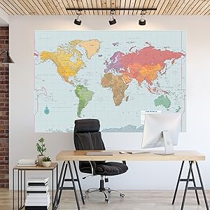
Extra-large World Wall Map – Laminated – 67” x 45”
$18.59
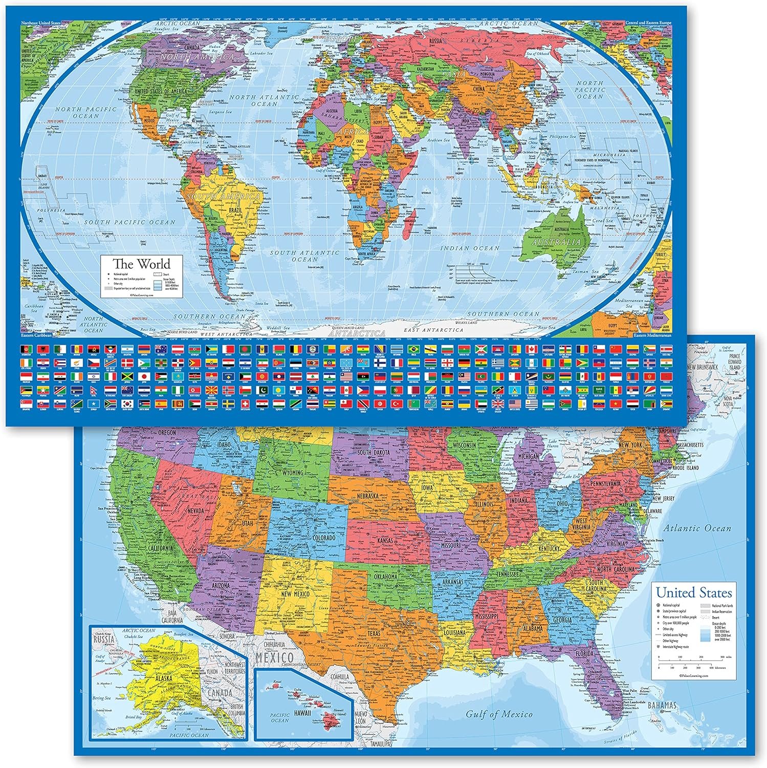
Related Products


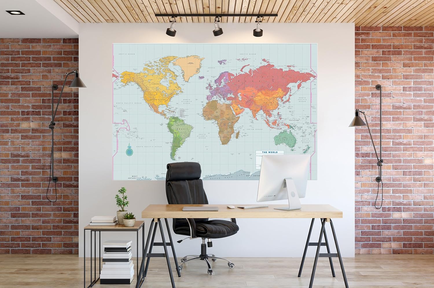

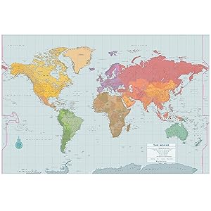
Extra-large laminated map of the World measures more than 5.5 feet wide and 3.75 feet high!
Ideal for school, office, or home.Use a dry erase marker to write on the map’s laminated surface and easily wipe off. (Dry erase marker not included.)Countries and political regions are clearly differentiated by colors and white boundary lines.World Map identifies capital cities, major cities, landmarks, and parallels.Essential geographical features, such as mountains and rivers, are also included.Extra-large map is durable and reusable.Map is creaseless — it comes rolled in a plastic tube.Sturdy 157 gsm paper stock is laminated on both sides at 3 mil thickness.2-sided lamination makes map moisture-resistant.Suitable for framing with or without glass, and suitable for hanging unframed.Map measures an extra-large 67” wide x 45” high — that’s more than 5.5 feet wide and 3.75 feet high!.Miller projection is used for optimal display.Map by master cartographer by David Lindroth.Map comes in a clear plastic tube that can be used for storage.
From the Publisher
EXTRA-LARGE WORLD LAMINATED WALL MAP
Laminated map of the World measures 3.75 feet high and more than 5.5 feet wide!
Durable, reusable World Wall Map is ideal for business, home office, or educational purposes

Extra-large World Wall Map measures 67” wide x 45” high
Single-sheet, full-color, fully laminated World Wall Map measures 3.75 feet high and more than 5.5 feet wide!
Map is creaseless — comes rolled in a clear plastic tube that can be used for storage.
Suitable for framing or for hanging unframed
Frame your World Wall Map with or without glass.
Or hang it unframed.
Makes an eye-catching addition to any space.

Provides detailed, up-to-date cartography
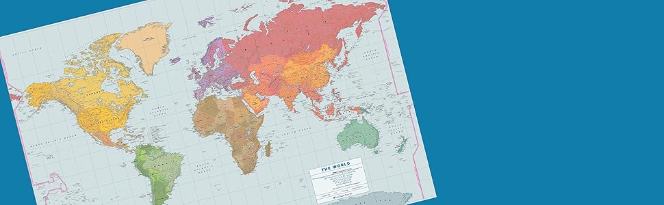
Countries and political regions are clearly differentiated by color and white boundary lines.
Careful attention to detail makes this the perfect reference map.
2-sided lamination makes our World Wall Map extra durable
Write on and wipe off with a dry erase marker
Our World Wall Map is printed on sturdy 157 gsm paper stock and laminated on both sides at 3 mil thickness.
Extra-durable map is resistant to changes in humidity.
Use a dry erase marker to write on the map’s laminated surface and easily wipe off. (Dry erase marker not included.)
Essential information
World Wall Map identifies capital cities, major cities, landmarks, and parallels. You’ll also find essential geographical features, such as mountains and rivers.
Miller projection is used for optimal display.
Map created by master cartographer David Lindroth.
About our Extra-Large Laminated World Wall Map: Map measures 67” wide x 45” high. Sturdy 157 gsm paper stock is laminated on both sides at 3 mil thickness. Moisture-resistant. Suitable for framing or for hanging unframed. Write on and wipe off with a dry erase marker (not included). Ideal for work, school, and home office. Map comes in a clear plastic tube that can be used for storage.
Add to Cart
Add to Cart
Add to Cart
Add to Cart
Add to Cart
Add to Cart
Customer Reviews
4.8 out of 5 stars 6,158
4.8 out of 5 stars 4,362
4.7 out of 5 stars 913
4.8 out of 5 stars 2,362
4.8 out of 5 stars 1,786
4.5 out of 5 stars 127
Price
$13.73$13.73 $12.95$12.95 $12.11$12.11 $12.11$12.11 $10.99$10.99 $23.29$23.29
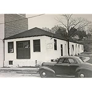
Our Company History
In 1928, at the age of twenty-two, Peter Beilenson began printing books on a small press in the basement of his parents’ home in Larchmont, New York. Peter—and later, his wife, Edna—sought to create fine books that sold ”at prices even a pauper could afford.”
Today, still family owned and operated, Peter Pauper Press continues to honor our founders’ legacy—and our customers’ expectations—of beauty, quality, and value.
Image: Peter Pauper Press headquarters, circa 1948.
Publisher : Peter Pauper Press
Publication date : March 25, 2021
Language : English
Print length : 1 pages
ISBN-10 : 144133680X
ISBN-13 : 978-1441336804
Item Weight : 3.5 pounds
Dimensions : 49.5 x 5 x 5 inches
Best Sellers Rank: #163,863 in Books (See Top 100 in Books) #46 in World Atlases & Maps (Books) #130 in United States Atlases & Maps (Books) #165 in Atlases (Books)
Customer Reviews: 4.6 4.6 out of 5 stars (52) var dpAcrHasRegisteredArcLinkClickAction; P.when(‘A’, ‘ready’).execute(function(A) { if (dpAcrHasRegisteredArcLinkClickAction !== true) { dpAcrHasRegisteredArcLinkClickAction = true; A.declarative( ‘acrLink-click-metrics’, ‘click’, { “allowLinkDefault”: true }, function (event) { if (window.ue) { ue.count(“acrLinkClickCount”, (ue.count(“acrLinkClickCount”) || 0) + 1); } } ); } }); P.when(‘A’, ‘cf’).execute(function(A) { A.declarative(‘acrStarsLink-click-metrics’, ‘click’, { “allowLinkDefault” : true }, function(event){ if(window.ue) { ue.count(“acrStarsLinkWithPopoverClickCount”, (ue.count(“acrStarsLinkWithPopoverClickCount”) || 0) + 1); } }); });
Renee –
Large World Map
If you want a really nice and big world map, this one is for you. Good quality and easily readable.
Billy Kelley –
Perfect
Bought this for my classroom and it is excellent. It is a great size and made out of a material that will last well over time. Highly recommend if looking for an extra large map.
Annalisa –
Great map
This map is huge. I used double sided tape to hang it and got some dry erase markers for notes etc and my grandson loves it.
Elizabeth –
Great Colorful map for classroom–ripped a bit
Used this in my classroom and it worked great–my students could see the countries from quite a distance away and distinguish them by the colors. Only complaint is that it ripped pretty easily when it was held up by pins for staples, I would recommend using 6-10 command strips to hang it instead of stapling or pinning it.
Andi Frazier –
Map
We bought this map to track our travels. It’s big enough to make notes and find those tiny islands.
Hardeep Gill –
Not worth it.
The map sucks to put it plainly. The colors are weirdly bright, not in a good way. The names of most, if not all countries printed sort of blurry.