
kids illustrated world map: 50″ X 32″ Ready to Display
$9.31
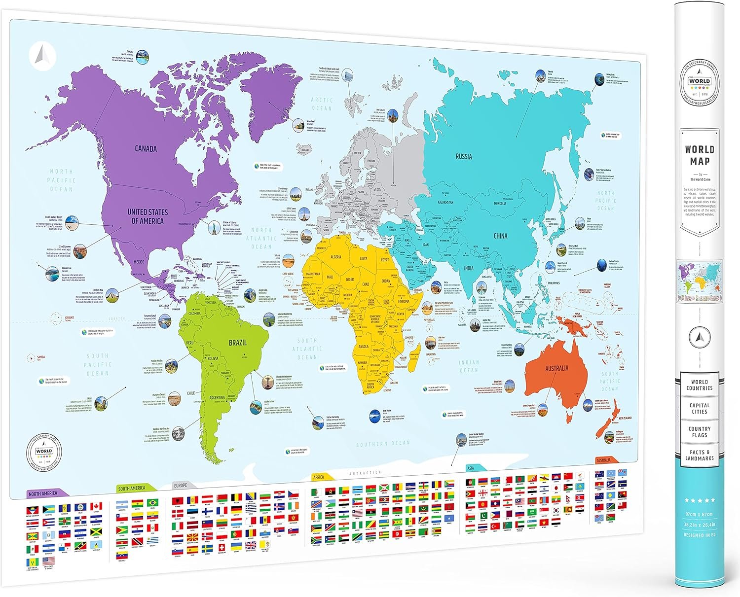
Related Products


Rand McNally’s Kids’ Illustrated Map of the World is designed to spark curiosity in young minds. Vibrant colors and playful graphics encourage children to have fun while learning about geography, botany, zoology, history, and architecture all across the globe. As decorative as it is educational, this contemporary color palette with an elegant white border makes this map suitable for framing and is the perfect addition to any bedroom or playroom. – Color-coded continents have delightful illustrations of native plants, animals, landmarks, cultural icons, and more. – Labeled capitals, major cities, and bodies of water provide additional points of reference. – Printed on heavy paper for extra durability. – Perfect for children’s bedrooms, playrooms, or classrooms. Product Details: – Dimensions: 50 x 32. – Folded dimensions: 8 x 11. – Package: Shrink-wrap.
From the Publisher
Kids’ Illustrated Map of the World

Rand McNally Kids’ Illustrated Map of the World
Rand McNally’s Kids’ Illustrated Map of the World is designed to spark curiosity in young minds. Vibrant colors and playful graphics encourage children to have fun while learning about geography, botany, zoology, history, and architecture all across the globe. As decorative as it is educational, this contemporary color palette with an elegant white border make this map suitable for framing and is the perfect addition to any bedroom or playroom.
Color-coded continents have delightful illustrations of native plants, animals, landmarks, cultural icons, and more.Labeled capitals, major cities, and bodies of water provide additional points of reference.Printed on heavy paper for extra durability.Perfect for children’s bedrooms, playrooms, or classrooms.Dimensions: 50″ x 32″Folded dimensions: 8″ x 11″Package: Shrink-wrap
Folded ISBN-10: 0528026712
Also available paper rolled ready to frame! Dimensions: 50″ x 32″, Package: White cardboard tube and cap.
Kids’ Illustrated Map of the World (Paper Rolled) ISBN-10: 0528022210
Publisher : Rand McNally
Publication date : May 19, 2022
Language : English
Print length : 1 pages
ISBN-10 : 0528026712
ISBN-13 : 978-0528026713
Item Weight : 4.8 ounces
Dimensions : 10 x 0.2 x 10.1 inches
Best Sellers Rank: #287,768 in Books (See Top 100 in Books) #65 in World Atlases & Maps (Books) #230 in Atlases (Books)
Customer Reviews: 4.4 4.4 out of 5 stars 43 ratings var dpAcrHasRegisteredArcLinkClickAction; P.when(‘A’, ‘ready’).execute(function(A) { if (dpAcrHasRegisteredArcLinkClickAction !== true) { dpAcrHasRegisteredArcLinkClickAction = true; A.declarative( ‘acrLink-click-metrics’, ‘click’, { “allowLinkDefault”: true }, function (event) { if (window.ue) { ue.count(“acrLinkClickCount”, (ue.count(“acrLinkClickCount”) || 0) + 1); } } ); } }); P.when(‘A’, ‘cf’).execute(function(A) { A.declarative(‘acrStarsLink-click-metrics’, ‘click’, { “allowLinkDefault” : true }, function(event){ if(window.ue) { ue.count(“acrStarsLinkWithPopoverClickCount”, (ue.count(“acrStarsLinkWithPopoverClickCount”) || 0) + 1); } }); });
Amazon Customer –
Beautiful and Engaging
I teach 6th Grade World Geography and my students LOVE this map. It is colorful, engaging, and can be used for many purposes.
2Mamabear2 –
Perfect for Kindergarten/early elementary ages
My kids age 5 and 7 love this map. They love to learn about different regions, or make up games like who can find a certain animal first.A good balance of colorful pictures, and accurate map features for this age group.
Stacy French –
Great map
This map was great! Very colorful and large. I did have it laminated, as the paper is thin and I want to use it in my classroom.
John C Burzynski –
Good Quality map!
This map is made of durable material. you can tape it to a wall and un-tape it without damage. The graphics are suitable for elementary children (not for middle school IMO). It doesn’t have great detail. It is a good basic map for children, and that’s what I wanted.
Shantal –
Love the illustrations
Instead of getting my 7 year old a cartoon decal for his room, I decided to get him this map. He absolutely loves the illustrations of the different sea animals and national symbols.
Michael S. –
Received a returned item
I purchased this for my grandchild to better understand ocean and continents. When we opened the package, the map was torn, one of the adhesive patches was already attached to the map and this patch also stuck the other side of the map.Not pleased at all
Steven Elfant –
Lots of fold marks
Positives : This Map is Large, Colorful, Kid – Friendly and FunNegatives: The map comes folded in 8 parts, and these fold lines are annoying and don’t go away. Also, the paper quality is not the best. Very thin.Time will tell how long this one lasts.
Carlos Mejia –
Excelente producto